The Adirondack Mountains

The High Peaks of the Adirondacks

The Great Range, Adirondacks

Summit of Seymour Mountain - Seward Mountain Range

Santanoni Mountain Range

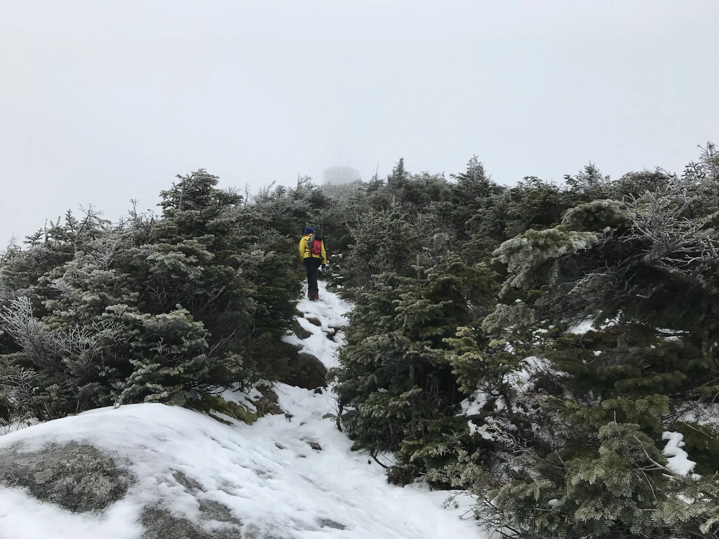
Approaching the summit of Whiteface Mountain

Adirondack Great Range

Mount Marcy from the summit of Mount Skylight

Beaver pond on the approach to Elk Pass

Lower Ausable Lake Dam

Avalanche Lake and Pass

Whiteface Mountain

View of Colden and Marcy from Alqonquin Peak
Hiking in the Adirondacks
The Adirondack Mountains form a massif in northeastern New York, United States. The boundaries correspond roughly to the boundaries of Adirondack Park. The mountains cover about 5,000 square miles (13,000 km2). The mountains form a roughly circular dome, about 160 miles (260 km) in diameter and about 1 mile (1,600 m) high. The current relief of the Adirondack mountains owes much to the glaciation of the region over the past.
High Peaks
The Adirondack High Peaks is the name given to 46 mountain peaks in the Adirondack Mountains of New York that were originally believed to comprise all of the Adirondack peaks higher than 4,000 feet (1,219 m). All except four are located in central and northern Essex County, primarily south of Lake Placid and Keene Valley. The others are just to the west in Franklin County. All the summits are on land owned by New York State as part of its Forest Preserve. Forty-two are in a vast tract of nearly 300,000 acres (1,200 km) known as the High Peaks Wilderness Area, subdivided into central (twenty-six peaks) and outer (sixteen peaks) zones. Nine of the peaks in the outer zone are in an area formerly known as the Dix Mountain Wilderness Area that was added to the High Peaks Wilderness in 2018. Giant Mountain and Rocky Peak Ridge are in the adjacent Giant Mountain Wilderness Area. Whiteface Mountain, which has a downhill ski area and a toll road to its summit, and Esther Mountain are set slightly to the north, in Wilmington.
Mount Marcy
There are more than 200 lakes around the mountains, including lakes George, Placid, and Lake Tear of the Clouds, on Mount Marcy, which is the highest source of the Hudson River. Mount Marcy is the highest point in New York, with an elevation of 5,344 feet. It is located in the Town of Keene in Essex County. The mountain is in the heart of the Adirondack High Peaks region of the High Peaks Wilderness Area.
4,000 Footers
Those who have climbed all 46 High Peaks are eligible to join the “Adirondacks Forty Sixers” club. Neither Mount Marcy nor Algonquin Peak, the two highest, require technical skills, but Algonquin Peak is regarded as the more challenging climb. Twenty peaks have no official trail to the top, although rough informal routes, commonly referred to as "herd paths," have developed over the years and no true bushwhacking is required to the summit of any of the peaks, although some are still quite primitive.
Want to know more about the guides on our Hikes? Check out our guides!
